 Since 2007, I have been traveling the length of the Western Hemisphere, incrementally, by bus. The trips have, for the most part, followed the Pan-American Highway, which stretches from Prudhoe Bay, Alaska, next to the Arctic Ocean, down to Ushuaia, Argentina, in Tierra del Fuego. I am 90% done, having held out Colombia until the peace process with the FARC rebels is a done deal. Here, I will share pictures from this journey, from north to south. Enjoy.
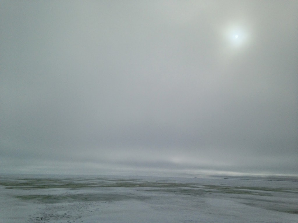
First, this is a shot of the frozen Arctic Ocean. Being a native Californian, I had forgotten to pack a hat or gloves.
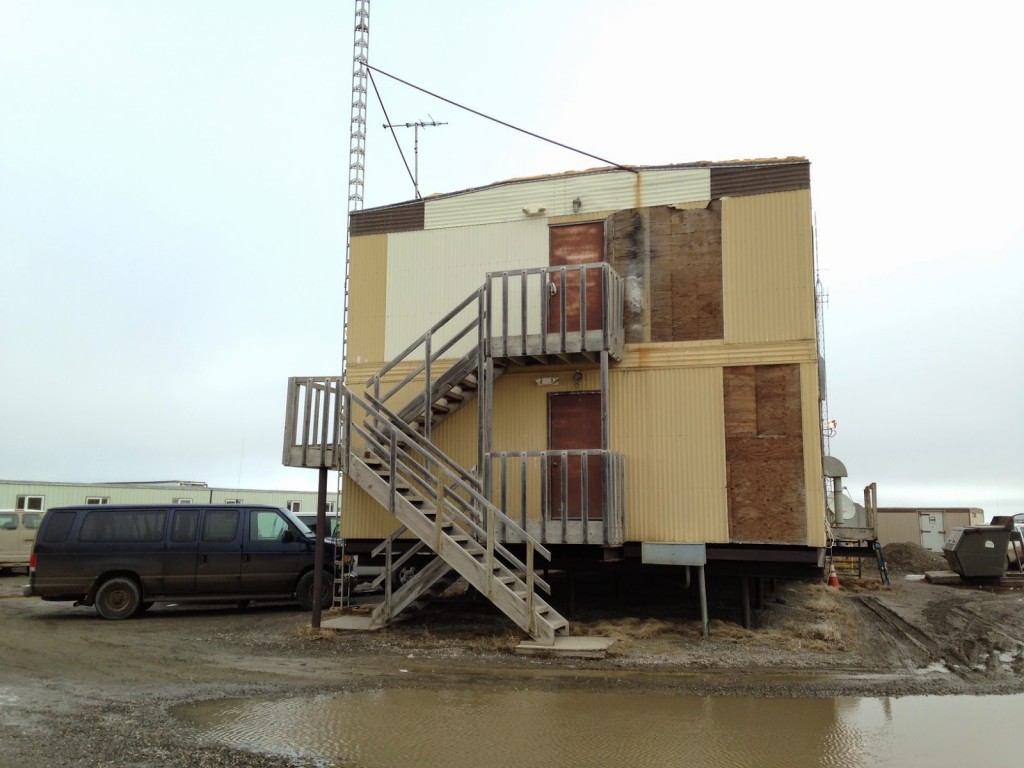
 This is the “hotel” I stayed at in Deadhorse. It’s a fifteen minute drive to the Arctic Ocean. The entire community is composed of oil workers who work two weeks on and two weeks off. The town sounds like water pumps because of the melted permafrost that is ubiquitous.
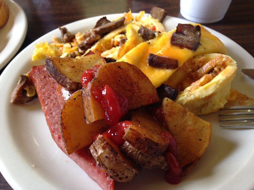
 I shared a meal with the oil workers. That’s reindeer sausage.
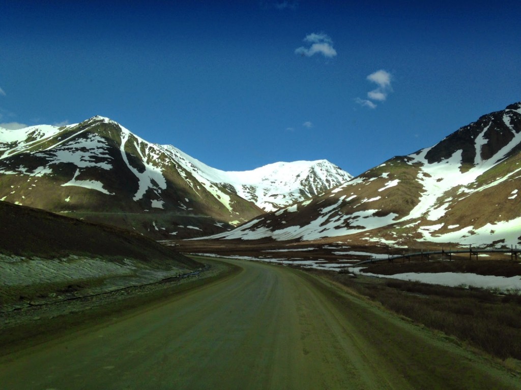
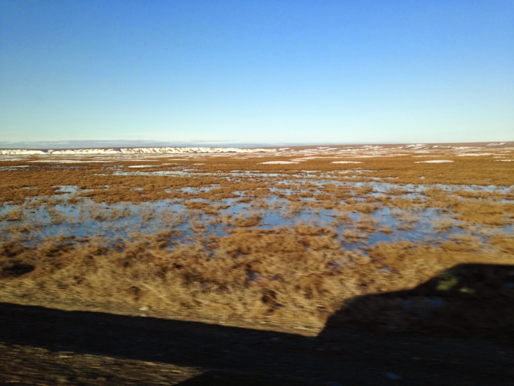 For many hours south, there are no trees. It’s simply too cold and there is not enough sun. You can see the Alaska oil pipeline. It parallels the entire Dalton Highway from Prudhoe Bay to Fairbanks.
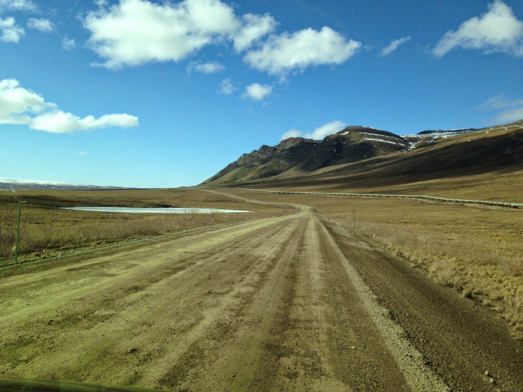 The treacherous Atigun Pass that bisects the Brooks Range.
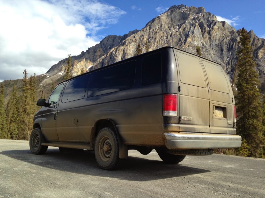
 My ride along the Dalton Highway was this V-10 heavy duty Ford van with a satellite phone.
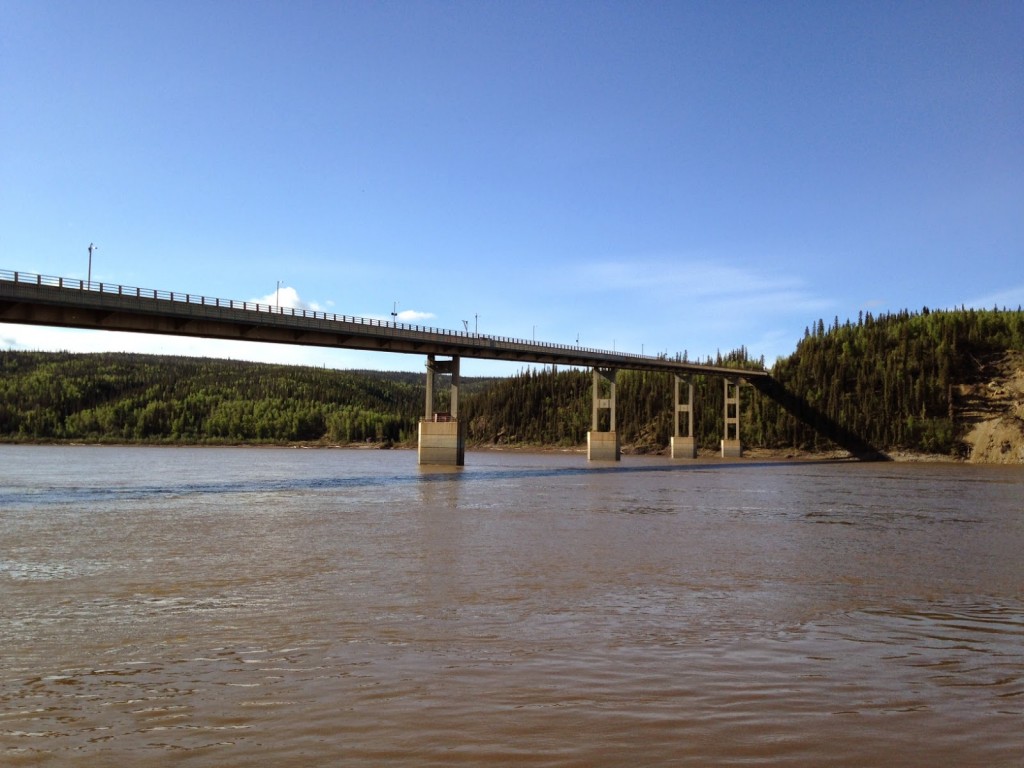
 This is the only bridge in Alaska that crosses the mighty Yukon River. Since 9/11, a security guard with a bullhorn is constantly stationed there, telling gawkers to move along.
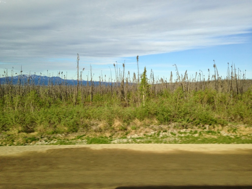
 As you travel south, the trees slowly get taller and taller.
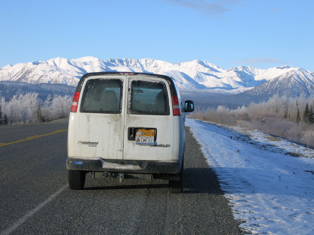
 The stretch from Fairbanks to Whitehorse in the Yukon is truly Jack London territory. I rode in this white van and listened to one incredible story after another from the driver. One winter, a truck had broken down along the side of the road and the driver was struck and killed while standing next to his truck. For the rest of winter, packs of wolves would return to the scene and lick the roadway where the poor man lived his final moments.
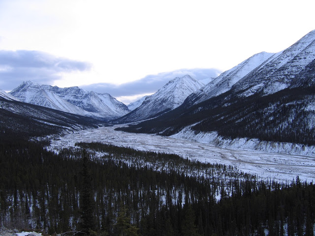
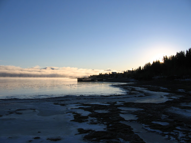 The tentacles of Greyhound’s reach are truly staggering. From Oakland, California, I rode one bus after another for three days, passed by the glaciers of northern British Columbia, and arrived in the Yukon Territory.
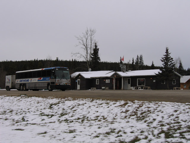
 This random rest stop had the best beef barley soup.
 I have no photos of Mexico, as I was afraid of taking out my camera. I did my bus journey during a particularly violent period. Upon arriving in Tijuana, I learned that the city had run out of coffins. Assault rifle-clad soldiers were everywhere. Nothing bad happened to me, but in retrospect, I should have chosen a better time.
The highlight of the Mexico segment happened in Chiapas. I had lost a bit of weight from eating (or not eating) Mexican bus station food and my only belt had run out of holes. I walked into a shoe shop and asked the kind ladies to punch an extra hole or two. They giggled uncomfortably as I took off my belt in front of them. When I offered to pay for the service, they refused.
Guatemala, and the rest of Central America, were relatively safe when I visited. The Catholic Church brokered a temporary peace deal between the gangs. The murder rate dropped precipitously.
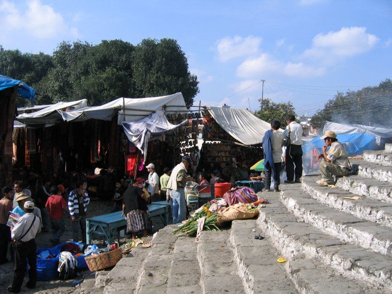
Here I am, sitting on the steps of the church in the market town of Chichicastenango. It sits on top of an ancient pre-Columbian temple. A funeral procession for a young child marched past.
 The most memorable moment of my Central America segment came at the Costa Rica-Panama border. We patiently waited in line outside overnight, as the border opened at sunrise. The brilliant hues of the sky took my breath away.
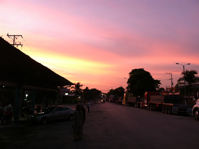 With six border crossings to deal with in Central America, the experience can best be described as 98% waiting and 2% chaos. At one crossing, before all of our bags were checked for contraband, we were ordered to hold each other’s hands and pray to God.
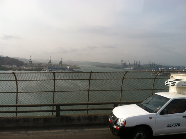
 Panama was by far the most developed of the Central American countries. The Panama Canal and billions in laundered narco-dollars helped build a skyscraper-filled skyline. This is a bridge over the Canal.
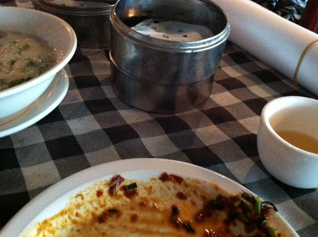
 Plus, it had credible dim sum.
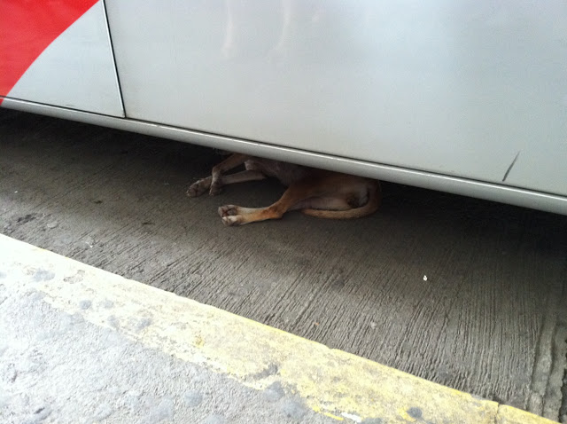
 The ride from Panama City to the Darien Gap is exciting and depressing. Deforestation is rampant. Military checkpoints become a chore.
 This is the southern terminus of the North American portion of the Pan-American. Beyond that footbridge is the Darien Gap, a roadless swath of jungle separating North and South America.
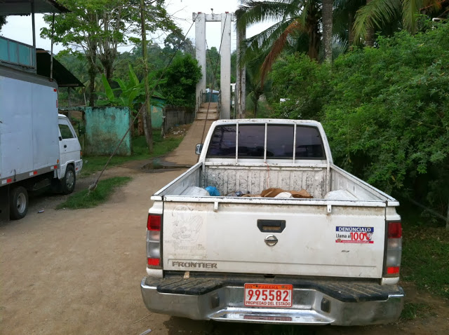 I still have to traverse the segment from Turbo, Colombia, (the northern terminus of the South American portion of the Pan-American) to Lima, Peru. So our photo tour picks back up in Peru.
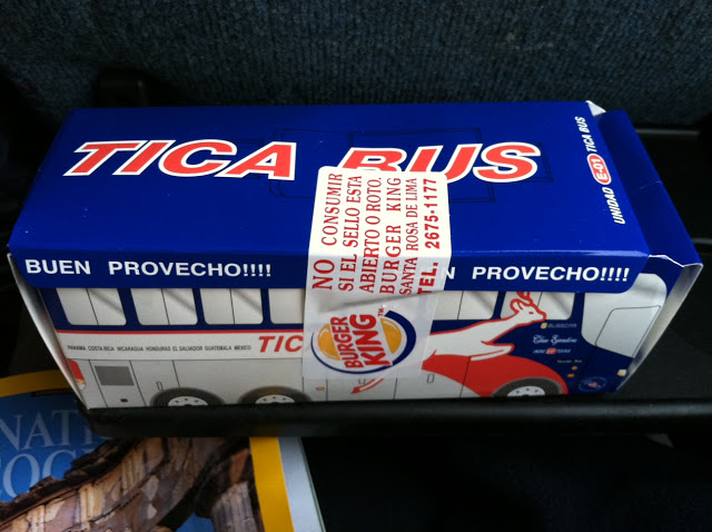
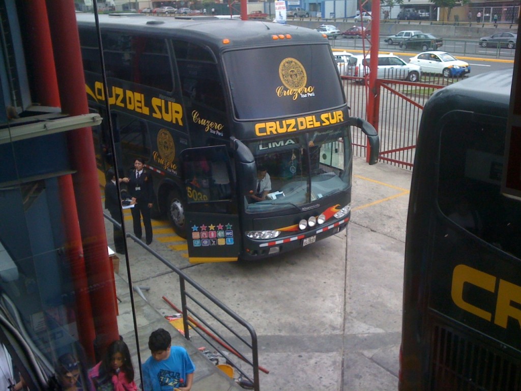
The Peruvian bus I took was certainly the most luxurious. It had a business center equipped with a fax machine. For dinner, I had the choices of beef, chicken, and vegetarian. The seats even reclined 160 degrees! I was not so happy about the fact that they showed R-rated movies knowing full well that there were chaste nuns onboard.
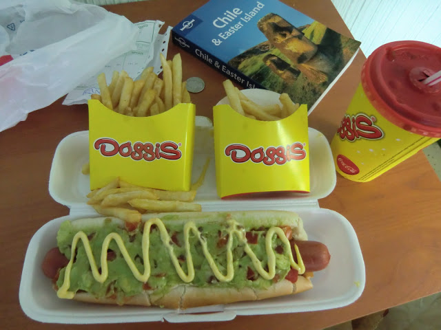
 Chile is by far my favorite country in the world. My first meal there was a hot dog covered with avocados. They only had one size of French fries. So if I wanted a Large, I had to order two.
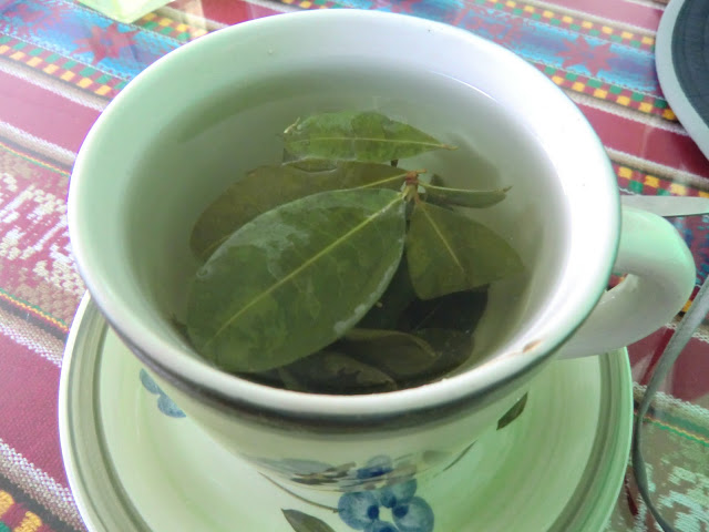
 Coca tea for altitude sickness.
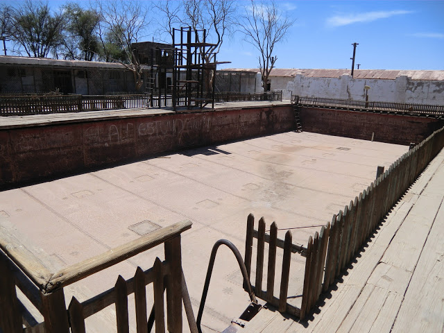
 Humberstone ghost town in the Atacama Desert has a cast iron swimming pool.
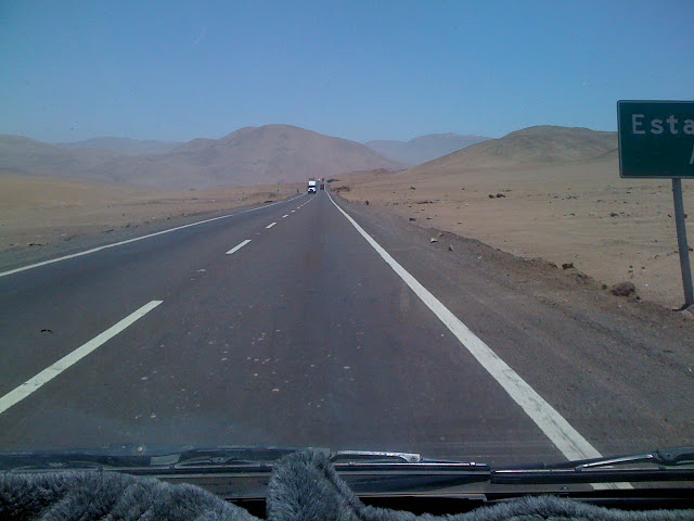
 Hitchhiking in the Atacama is not advisable. Fortunately, a Hyundai van appeared out of nowhere right when my scalp started blistering from the hot sun.
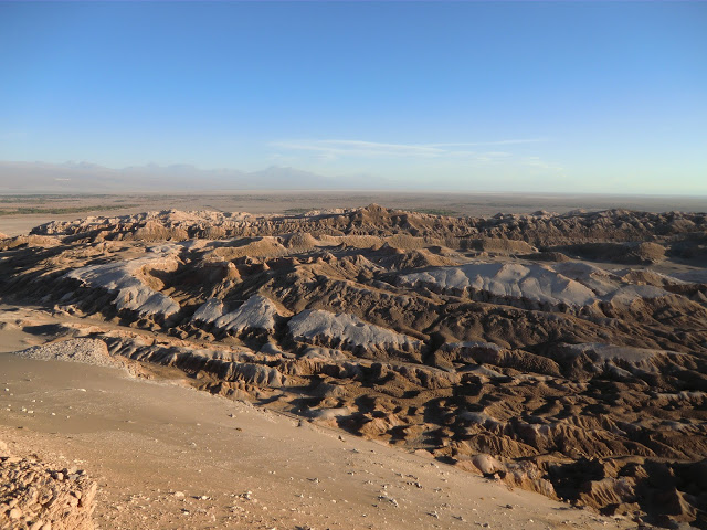
 The Valley of the Moon is definitely a detour worth taking.
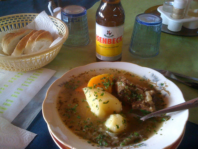
 The Lake District of Argentina reminds me of the mountains around Lake Geneva. This simple meal really hit the spot.
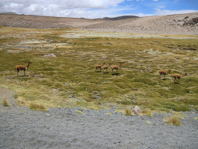
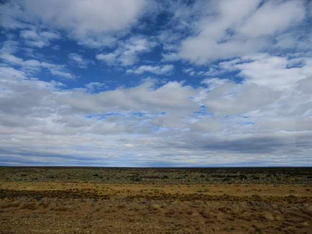
 Patagonia is vast and empty. We traversed thousands of miles in just a couple of days.
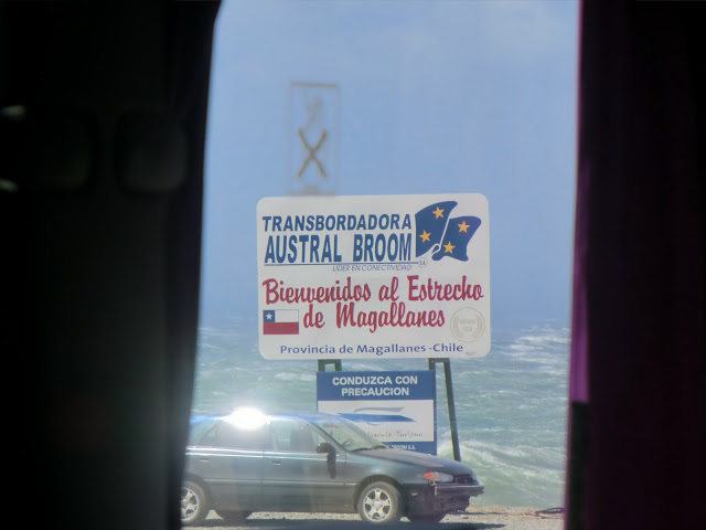
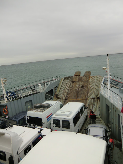
 The Strait of Magellan ferry crossing was tricky. Due to rough conditions, we waited 8 hours and 37 minutes at the dock before it was decided that no ferries would cross that day. The wind rocked the bus the entire time we waited onboard.
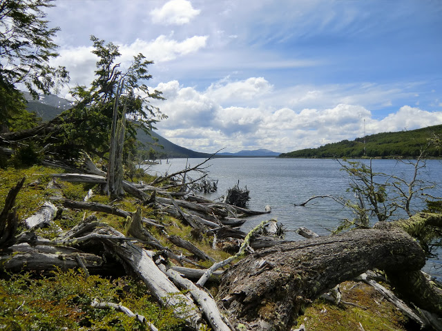
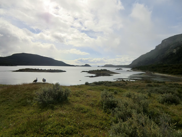
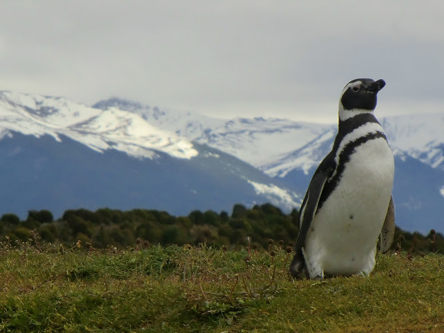
 Tierra del Fuego is another world. The flora and fauna are all unfamiliar.
 And finally, the end of the road. This is as far south as you can drive.
Images source: Copyright 2015 Crasstalk/Maxichamp
